Advanced Drone Solar Inspections
Thermal & Ultra High Definition
See More. Detect More. Document More.
Maximize the performance, reliability, and documentation of your solar assets with advanced drone-based inspections from Flying High Productions.
We provide thermal and Ultra High Definition (UHD) aerial inspections of utility-scale and commercial solar farms nationwide, combining high-resolution RGB imagery, thermal imaging, precise aerial positioning, and industry-leading analysis software.
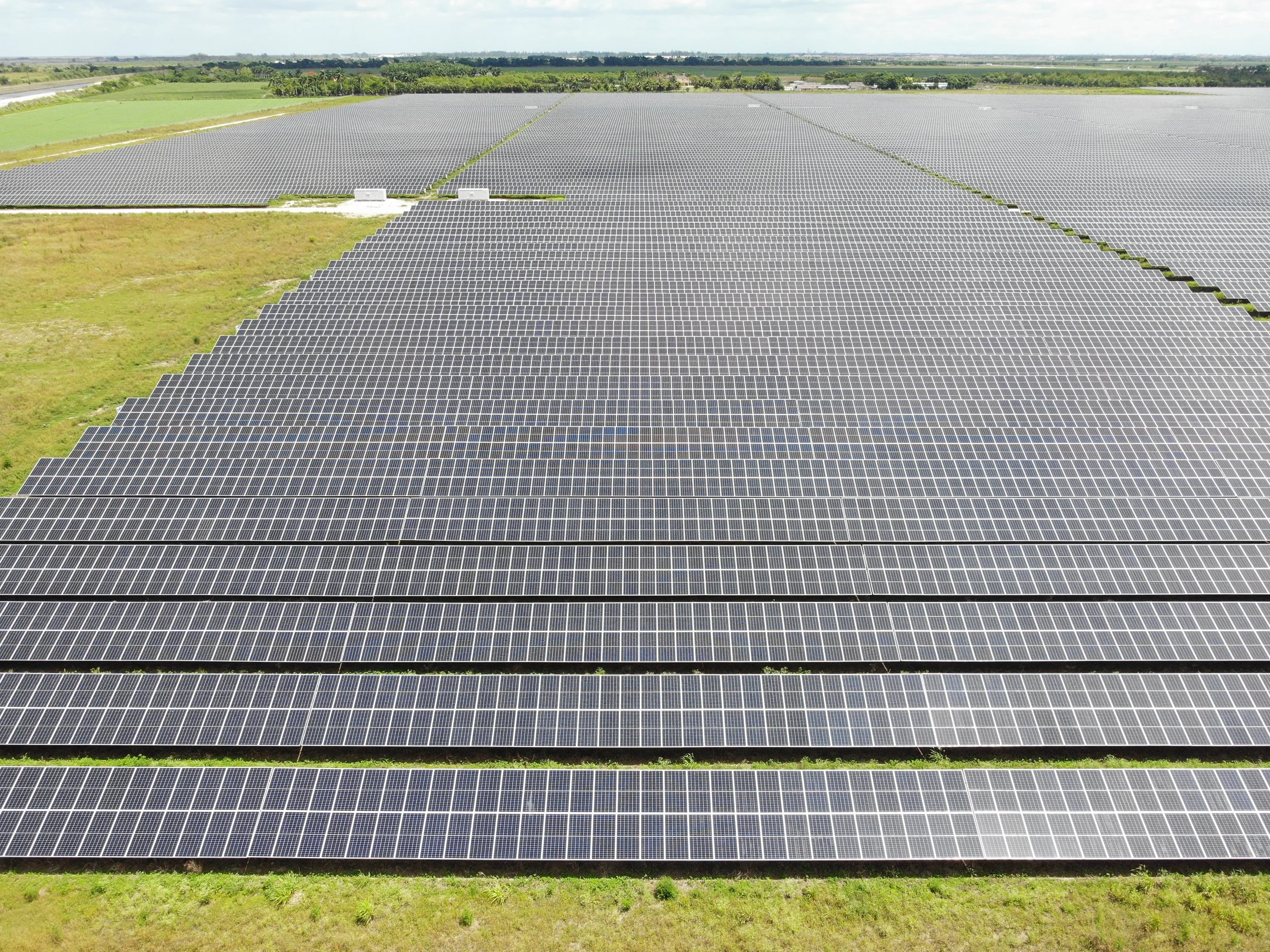
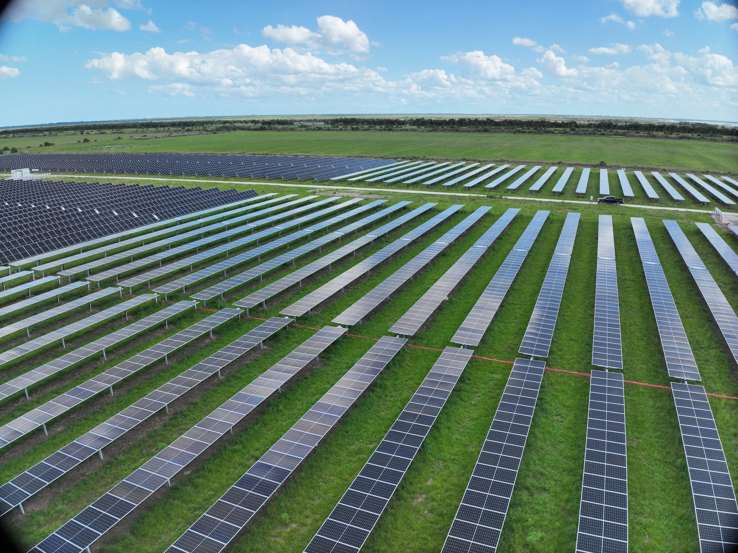
Our experience includes solar projects across the United States and work supporting both local and international customers, with inspections covering large-scale solar facilities and hundreds of megawatts of photovoltaic assets.
Whether you need to identify thermal anomalies, document physical conditions, investigate potential failures, or create an exceptionally detailed visual record of your solar field, our drone inspections provide the data needed to make informed decisions.
Ultra High Definition Solar Inspections
When Standard Aerial Imagery Isn't Enough
Our UHD solar inspections take aerial documentation to an entirely different level.
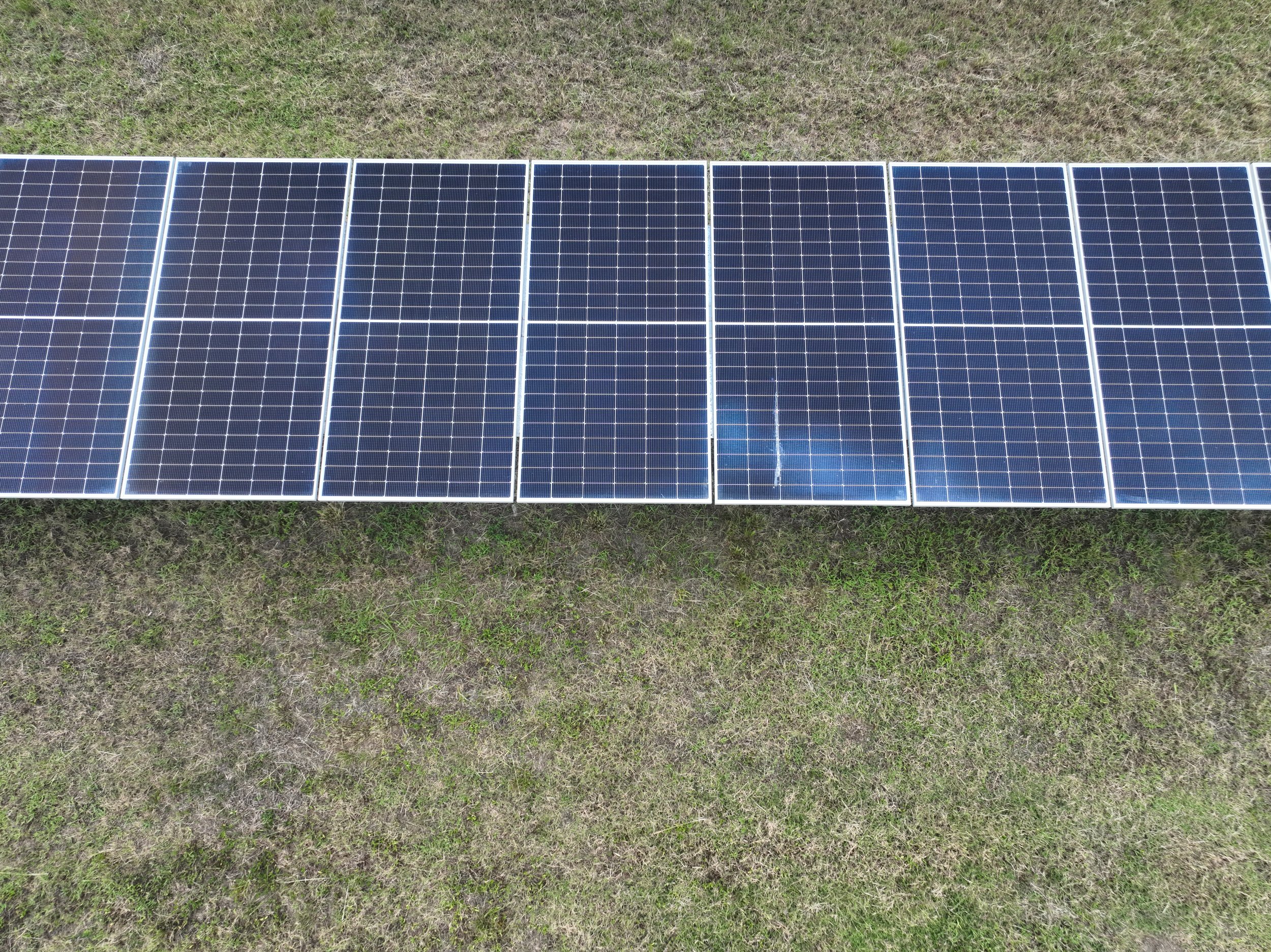
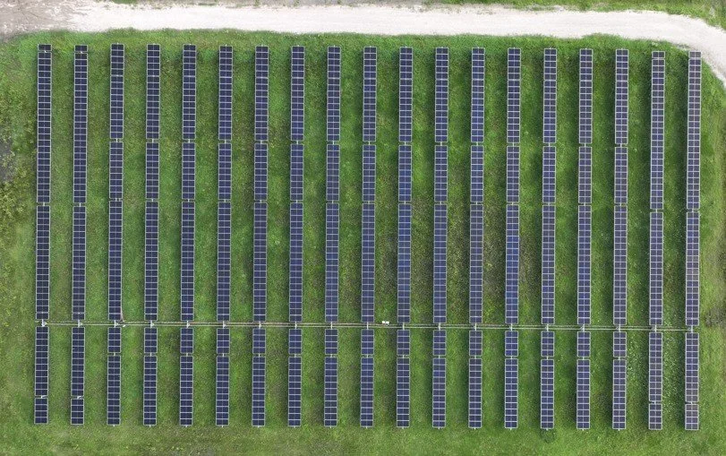
Using specialized flight planning and low-altitude, high-resolution imaging, we capture exceptionally detailed RGB imagery of solar modules and equipment. This level of detail can help document conditions that may be difficult or impossible to see in conventional aerial imagery.
Depending on the inspection requirements, UHD imagery can assist in documenting:
Module and cell-level physical conditions
Cracks, chips, damage, and visible defects
Delamination and surface abnormalities
Module frames and mounting components
Wiring, connectors, and other visible components
Labels, markings, and equipment identification
Construction and installation details
Detailed before-and-after documentation
Areas requiring closer investigation
UHD imagery can also provide a valuable visual baseline for future inspections, allowing owners and operators to compare conditions over time.
Built for Large Solar Facilities
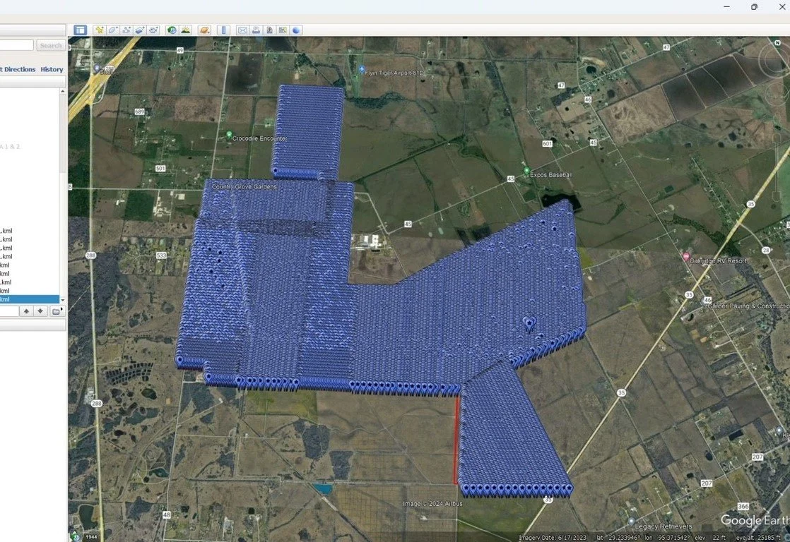
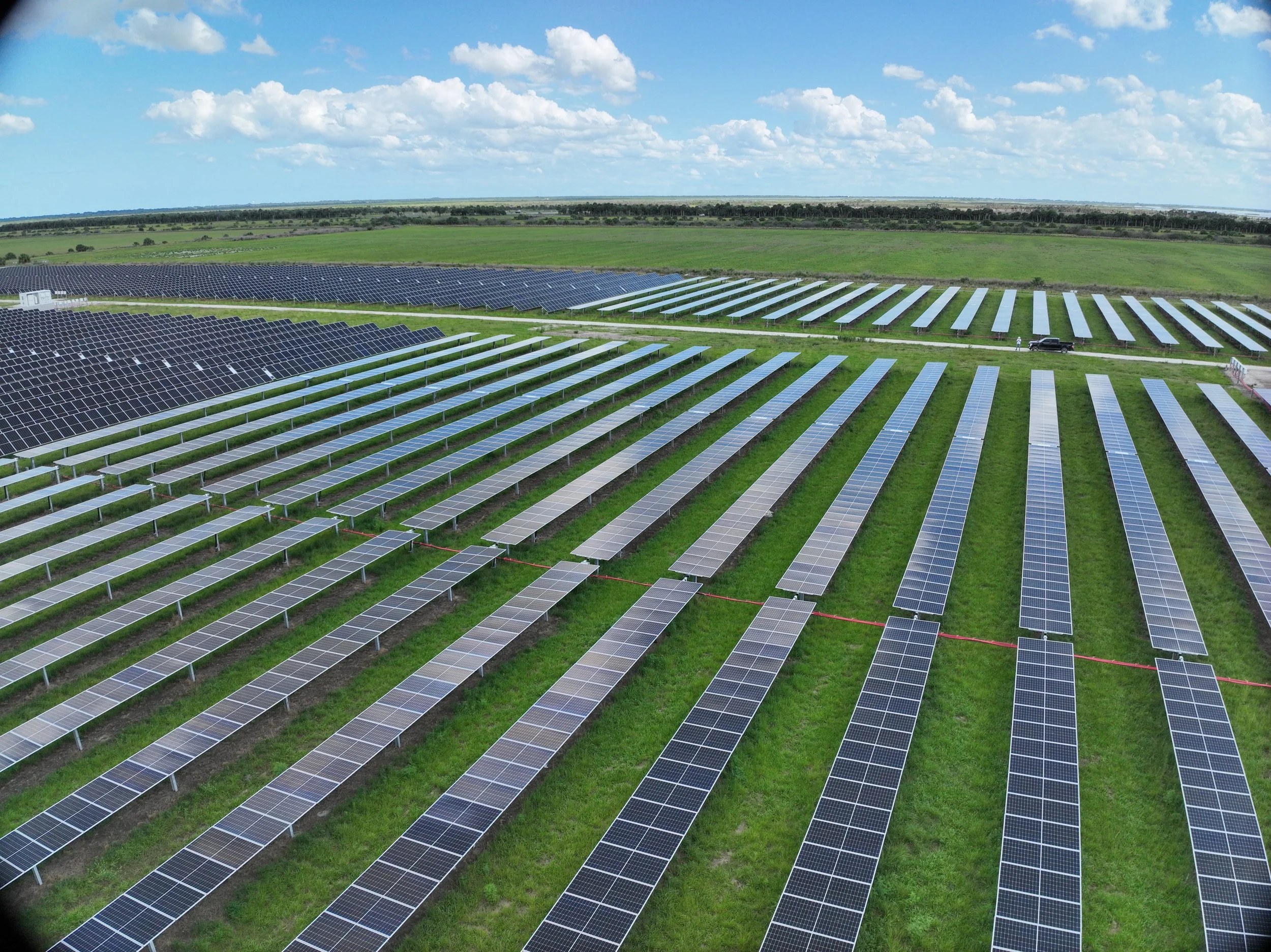
Our team has performed high-resolution solar imaging on large-scale projects throughout the United States, including facilities totaling hundreds of megawatts.
We understand that utility-scale solar inspections require more than simply putting a drone in the air. Flight altitude, image resolution, overlap, lighting, wind, site conditions, airspace, positioning, and data management all affect the quality and usefulness of the results.
Our goal is simple: capture the level of detail your project requires.
Advanced Thermal Drone Inspections
Identify Problems Before They Become Bigger Problems
Thermal imaging provides a powerful way to identify abnormal heat signatures across solar modules and electrical components.
Our thermal drone inspections rapidly survey large areas while collecting synchronized thermal and RGB imagery. The resulting data can help identify potential anomalies across individual modules, strings, and larger sections of a solar field.
Depending on site conditions and the characteristics of the anomaly, thermal inspections may help identify issues such as:
Hot spots and abnormal thermal signatures
Cell and module anomalies
Bypass diode issues
String-level abnormalities
Connector and wiring problems
Potential electrical faults
Damaged or underperforming modules
Other conditions requiring further investigation
Thermal data gives your team a way to quickly locate areas requiring attention without relying solely on manual ground-by-ground inspection.
Thermal + UHD: A More Complete Picture
Different Sensors. Different Answers. One Inspection.
Thermal imagery can help identify where something may be wrong.
UHD RGB imagery can help document what the area actually looks like.
Combining these capabilities creates a more comprehensive inspection workflow.
When a thermal anomaly is identified, high-resolution RGB imagery can provide additional visual context for the affected area. This combination can help owners, engineers, O&M teams, and inspectors investigate potential issues more efficiently.
Rather than relying on a single type of imagery, we can tailor the capture to the requirements of your project.
Comprehensive Data & Analysis
From Aerial Capture to Actionable Information
Our solar inspection data can be processed and organized using industry-leading analysis platforms.
Inspection results can include:
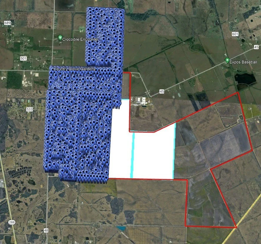
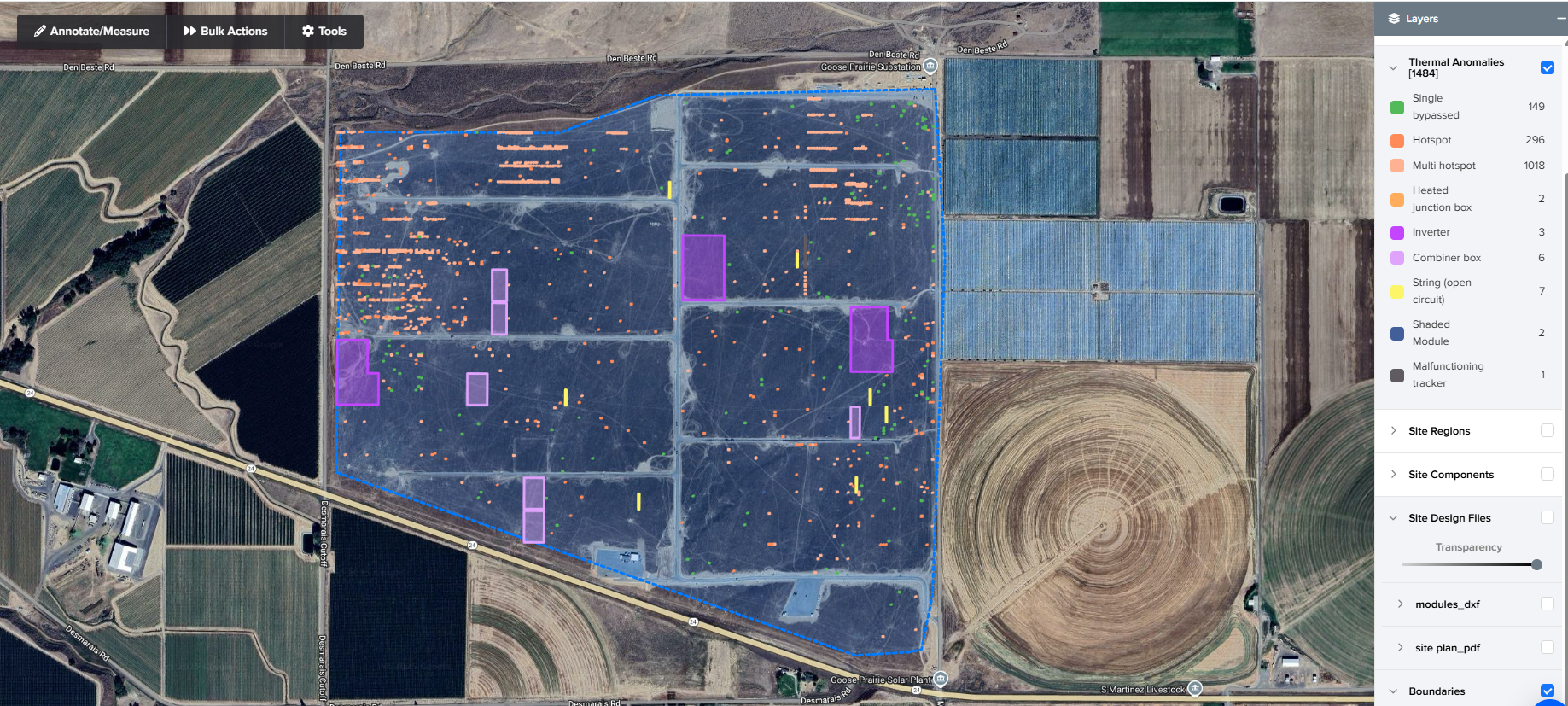
Geo-referenced anomalies
Thermal and RGB imagery
Individual module or area identification
Interactive solar-field maps
Tagged inspection findings
High-resolution supporting imagery
Data organized for further analysis and comparison
The result is more than a collection of aerial photographs. It is organized inspection data that can help your team determine where to look, what to investigate, and how conditions change over time.
National Solar Inspection Experience
From Local Projects to Utility Scale Solar Farms
Flying High Productions has provided drone services for solar projects across the United States, working with customers on local, national, and international projects.
Our solar experience includes high-resolution RGB and thermal inspections of large-scale photovoltaic facilities, with projects totaling hundreds of megawatts.
We understand the demands of working on active solar sites and can coordinate flight operations around site access, safety requirements, airspace considerations, weather, and project schedules.
Your Solar Farm. From Above, In Greater Detail.
Whether you need thermal anomaly detection, Ultra High Definition module imagery, construction documentation, mapping, or a combination of inspection services, Flying High Productions can build an aerial data-collection program around your project.
See the big picture. Examine the details. Document what matters.
Contact Flying High Productions to discuss your next solar inspection.
Contact us Today to unlock the potential of solar inspections:
Call or Text 786-443-6648
Email: info@flyinghighproductions.org